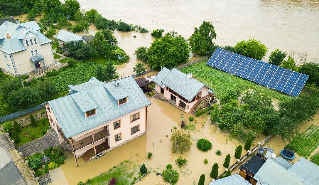
Mapping the flood zones around two Indian cities provided the tool for better assessments of flood risks
30. 6. 2023
Many river basins in India are prone to severe floodings both in mountain regions close to river sources as well in the flat areas near large cities which are especially vulnerable in the monsoon periods.
With the help of satellite images acquired by the Sentinel-1, Sentinel-2 and Nemo-HD satellites, a database for geographic information systems (GIS-systems) was established in order to develop analyses and models of flooding phenomena for Delhi along the Yamuna River and Varanasi along the Ganges River, including 3D-visualization tools that can be later applied to other flood zones.
The results achieved in the field of detection and digitization of water surfaces represent an excellent basis for further development of digital twin models for the assessment of water, food, energy and climate security not only in river basins but also in other important ecosystems where the state of water is related to the physical parameters of the soil, indicators of vegetation states as well meteorological and geophysical conditions in the considered areas.
Better assessments of flood risks will enable more secure food and water supply, land use and construction planning, reduce emigration and increase public awareness. The improved planning of new housing and agricultural facilities will contribute to improving the standard of living and economic growth.
More about International development cooperation.


